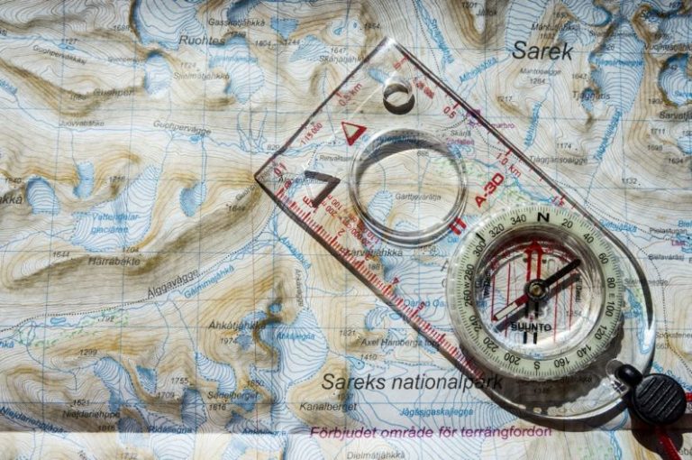

How to Read Nautical Charts
Navigating the open waters can be an exhilarating experience, but it requires a certain level of skill and knowledge to ensure a safe journey. One of the most important tools for any sailor or boater is the nautical chart. These detailed maps provide crucial information about the marine environment, including water depths, navigational aids, and potential hazards. Learning how to read nautical charts is essential for anyone looking to venture out into the ocean or other bodies of water. In this article, we will explore the key components of nautical charts and provide tips on how to interpret them effectively.
Understanding the Basics of Nautical Charts
Nautical charts are specialized maps that are used for navigation at sea. They are typically created by hydrographic offices and provide detailed information about the underwater topography, coastline, and features of a particular area. Understanding the basic elements of a nautical chart is the first step towards becoming proficient in marine navigation.
Key Features of Nautical Charts
One of the most important features of a nautical chart is the depth soundings, which indicate water depths in various areas. These soundings are represented by numbers that correspond to the depth of the water at that specific location. It is crucial to pay close attention to these soundings to ensure that your vessel has enough clearance to navigate safely.
Another essential feature of nautical charts is the symbols and abbreviations used to denote different types of information. These can include navigational aids such as buoys and lighthouses, as well as potential hazards like rocks, wrecks, and shoals. Familiarizing yourself with these symbols is key to understanding the information presented on the chart.
Tips for Reading Nautical Charts
When reading a nautical chart, it is important to consider the scale of the map. Larger-scale charts provide more detailed information about a smaller area, while smaller-scale charts cover larger areas with less detail. Choosing the appropriate scale for your intended voyage is crucial for accurate navigation.
In addition to the scale, it is essential to pay attention to the legend or key provided on the nautical chart. This key will explain the various symbols and abbreviations used on the chart, allowing you to interpret the information effectively.
Another important aspect to consider when reading nautical charts is the concept of contour lines. These lines connect points of equal depth and can help you visualize the underwater topography of the area. Understanding how contour lines are used can give you valuable insights into the underwater terrain and potential hazards.
Utilizing Technology for Navigation
While traditional nautical charts are indispensable tools for marine navigation, modern technology has introduced new methods for navigating at sea. Electronic chart plotters and GPS systems can provide real-time information about your vessel’s position and track, making navigation easier and more accurate.
Conclusion: Mastering the Art of Nautical Navigation
Learning how to read nautical charts is a fundamental skill for any sailor or boater. By understanding the key components of nautical charts and practicing their interpretation, you can enhance your navigational abilities and ensure a safe and enjoyable voyage on the open water. Remember to always stay informed about current navigational information and updates to charts, and never underestimate the importance of thorough preparation before setting sail. With the right knowledge and skills, you can confidently navigate the seas and explore new horizons with ease.