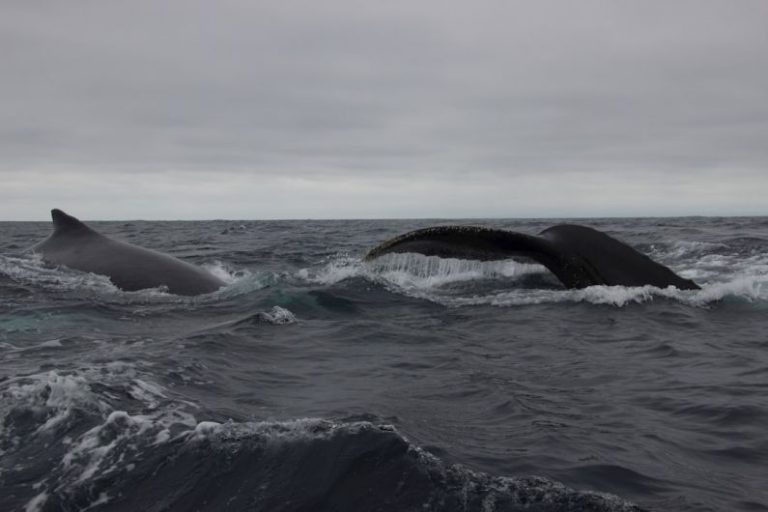
Weather Watching: Tips for Predicting Sea Conditions
When planning a day out on the water, whether for fishing, boating, or any other aquatic activity, it is essential to pay close attention to the weather forecast and sea conditions. Being able to predict how the weather will impact the sea can help ensure a safer and more enjoyable experience. Here are some valuable tips for mastering the art of predicting sea conditions.
Understanding Wind Patterns
One of the key factors to consider when predicting sea conditions is wind patterns. Wind plays a significant role in shaping the surface of the water, creating waves and swells that can impact your time on the sea. By understanding wind direction and speed, you can anticipate how the waves will behave.
When planning your day on the water, pay attention to the prevailing wind direction in your area. Winds blowing onshore tend to create choppier conditions, while offshore winds can result in calmer seas. Additionally, strong winds can lead to larger waves, so be sure to check the wind speed forecast before heading out.
Monitoring Wave Height
Another crucial aspect of predicting sea conditions is monitoring wave height. Waves are formed by the interaction of wind with the surface of the water, and their height can vary depending on factors such as wind speed and duration. Knowing how to interpret wave height forecasts can help you gauge the conditions you are likely to encounter.
When looking at wave height predictions, keep in mind that significant wave height is the average height of the highest one-third of waves in a given area. This measurement can give you a good indication of the overall sea state. Waves taller than the forecasted significant wave height may indicate rougher conditions, while waves below this height suggest calmer seas.
Watching for Swell
In addition to wind-driven waves, swells are another important consideration when predicting sea conditions. Swells are long-period waves that travel across vast stretches of ocean and can significantly impact the behavior of the water. Understanding how swells interact with local conditions can help you anticipate the sea state more accurately.
When assessing swell forecasts, pay attention to the direction, period, and height of the swells. Swells coming from a different direction than the local winds can create confused seas, while long-period swells tend to produce smoother conditions. By combining information about wind waves and swells, you can develop a more comprehensive picture of the sea state.
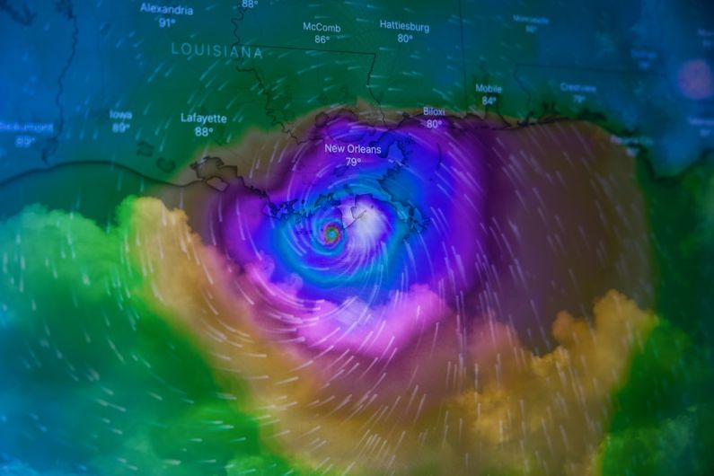
Analyzing Weather Systems
Finally, when predicting sea conditions, it is essential to consider the broader weather systems at play. Weather patterns such as low-pressure systems, cold fronts, and tropical storms can have a significant impact on sea conditions, leading to rough seas, strong winds, and other hazardous conditions.
Before heading out on the water, take the time to study the weather forecast and understand how different weather systems are likely to influence the sea state. Keep an eye out for any approaching storms or significant weather changes that could affect your plans. Being aware of the larger weather picture can help you make informed decisions about when and where to venture out on the sea.
Navigating with Confidence
By mastering the art of predicting sea conditions, you can navigate the waters with confidence and ensure a safer and more enjoyable experience. By understanding wind patterns, monitoring wave height, watching for swells, and analyzing weather systems, you can make informed decisions about when and where to embark on your aquatic adventures. Stay vigilant, stay informed, and always prioritize safety when it comes to exploring the wonders of the sea.